

(EDITOR’S NOTE: Poole Creek may be Stittsville’s most important natural feature. It meanders from the Trans Canada Trail to the Carp River, crossing through neighbourhoods old and new, playing a crucial role in our community’s ecology. In this series, ecologist Nick Stow follows the creek from start to finish, looking at how it changes as it travels through wetlands, forests and new subdivisions. All photos by Nick Stow.)
I’M CROUCHED LOW, SLOWLY CREEPING THROUGH YOUNG FERNS AND CEDARS TOWARD A SHADED POOL, where my instincts tell me a brown trout should be resting. Sunlight and reflections dapple the surface of the water. In the shadow of the bank, the sandy, leaf-littered creek bottom looks bronze. Freezing against a tree trunk, I concentrate on the patches of bronze, looking for movement. After a few seconds, I can make out the shape, then the speckled, grey back and splash of gold on the sides, holding near the bottom. Perhaps 14 inches long, and just over a pound. I raise my camera, and try to slide surreptitiously into a better position. With a quick flip of its tail, the fish is gone.
This isn’t Algonquin Park, the Madawaska Highlands, or Upper State New York. This is Poole Creek, in the heart of Stittsville, one of Ottawa’s rapidly growing suburbs.
Like many people, I first visited Stittsville around 1980, on a Sunday family outing to the village’s famous flea market. It was a small bedroom community clustered along its Main Street. Since then, the village has merged with the City of Ottawa and grown into a busy suburb of 27,000 people, with more development and homes appearing every year. As the village has grown, it has displaced much of the farmland, forest and wetland that once surrounded it.
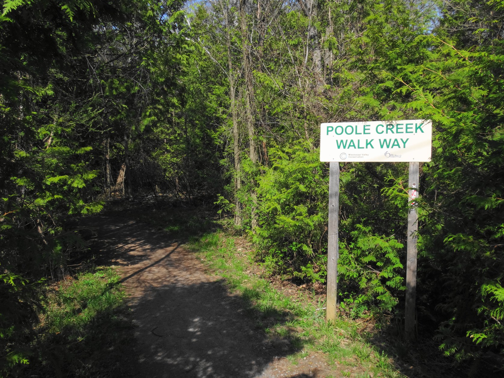
Fortunately, throughout all of that growth, the community has had the wisdom to preserve Poole Creek — one of only two, truly cold-water creeks in the Ottawa area. Poole Creek originates in the provincially-significant Goulbourn Wetland, about 1 km west of Stittsville along the Trans Canada Trail. An observation platform looks north over a large expanse of cattail marsh, while the creek begins its life flowing south under the trail through a steel culvert. Barn swallows nest below the platform, and a careful observer might spot a well-camouflaged snipe probing the exposed mud flats with its long bill. Common yellowthroats — pretty, masked warblers — call “witchitty, wichitty, witchitty” from the thickets.


Local residents familiar with the Goulbourn Wetland will have seen recent changes to it. Water levels in the wetland have dropped since the City of Ottawa Drainage Unit and Roads Department replaced the collapsed culvert under the trail. The culvert, and the beavers that habitually dammed it, had created a substantial pond extending into the marsh. The replacement of the culvert and routine trapping of the beavers by the City has been controversial. Whether justified or not, the resulting changes to the wetland need to be assessed in an historical context.
Aerial photography prior to the 1990s, when beavers recolonized the area, shows that much more of the wetland existed as swamp — suggesting that water levels were lower at that time. In all likelihood, the wetland has probably gone through many changes since European settlement, as beavers were trapped out, the railroad built (the bed of the current trail), farms cleared and then abandoned. The wetland will likely change again as it adjusts to the lowered water levels, perhaps seeing the conversion of marsh to swamp. However, there’s little danger of the wetland vanishing, given the low topography of the area and size of the contributing catchment.
The Goulbourn Wetland and surrounding areas actually contribute very little to the flow of Poole Creek, except during the spring runoff and large storms. Outside the wetland area, the thin, clay and till soils dry out quickly in the summer months. Even before the culvert work and lowering of water levels in the wetland, Poole Creek west of Stittsville was classified as “seasonally intermittent”. In dry summers, lengthy portions of the channel cease to flow, and minnows cluster in isolated pools as easy prey for birds and raccoons.
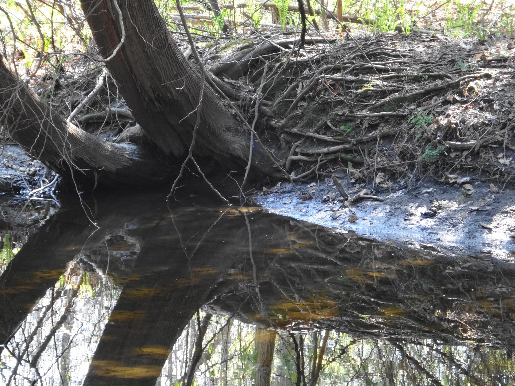
Shortly after flowing under Westridge Drive into Stittsville, Poole Creek changes character. The western side of Stittsville lies along a relict beach of the ancient Champlain Sea, which covered much of the Ottawa Valley following the retreat of the glaciers 10,000 years ago. Rainfall infiltrates more easily into the sandy, beach soils than the clay and till soils that dominate most of the City. Rather than running quickly along the surface, the water percolates slowly through the earth toward Poole Creek. By the time that it seeps and wells up into the creek channel, the water has cooled to the temperature of the deeper soil. Consequently, once it enters the village, Poole Creek quickly changes to a permanent, coldwater stream.
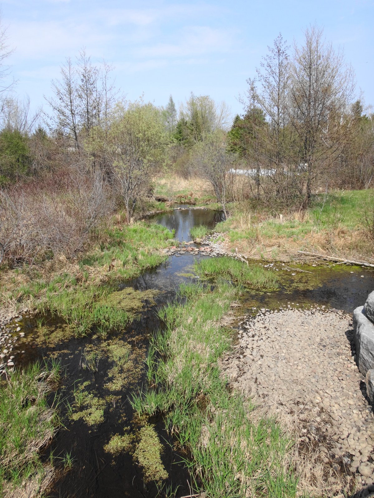
From Westridge to its mouth at the Carp River, five kilometres downstream, Poole Creek meanders through the village in a mostly natural corridor anywhere from 30 meter to 70 meters in width. Immediately upstream and downstream of Stittsville Main Street, a healthy canopy of trees overhangs the creek. Short riffles alternate with deeper pools. Here, in the clear, cold water, local organizations introduced brown trout about twenty years ago, constructing “lunker boxes” for shelter and stabilizing the banks to improve the habitat. The trout remain, virtually unknown to anyone but a few fly-fishers, who practice a careful catch-and-release to preserve the small population.


Although the Trans Canada Trail deviates from Poole Creek at Westridge Drive, another trail system picks up from it, following the creek in fits and starts for much of its length toward the Carp River. However, any visit to Poole Creek would be incomplete without a detour to Quitters Coffee, where the Trans Canada Trail crosses Stittsville Main Street. Just a block or so south of Poole Creek, Quitters makes great pastries and sandwiches, while selling the best coffee in Stittsville. You can sit in the spacious, bright cafe or relax outside on the patio. With any luck, you might meet the owner, singer-songwriter Kathleen Edwards.
***
NEXT IN THIS SERIES: As the creek heads east of Stittsville Main Street, it enters a stretch that remains largely unsurveyed and uninventoried. Read it here…
***
(This story originally appeared on Nick Stow’s Naturally Ottawa blog and is republished here with permission. Stow is an ecologist and environmental planner and works for the City of Ottawa.)